Felixstowe from the foreshore at Shotley Marina
Walk Photo 164801
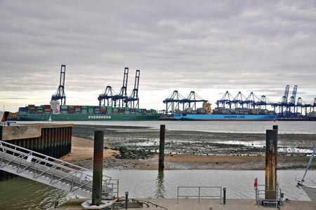
Caption - Felixstowe from the foreshore at Shotley Marina
Walk 1648 : Church End & Erwarton from Shotley Gate
Photographer : Mick Lobb
Use back button to return to the photo gallery lists.
Further Information
Location Map
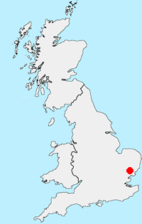
Suffolk Coasts and Heaths
The Suffolk Coast and Heaths National Landscape (formerly AONB) extends from the northern side of the Stour estuary to the east of Ipswich, to Kessingland in the North. Covering much of the land between the A12 trunk road and the coast - it is an area traversed by five superb and diverse estuaries. This physical landform has made the construction of a north - south coast road impossible and prevented much of the unsightly development common along many other stretches of coast. The area retains a remote atmosphere and gives the impression that many of this century's changes have passed it by. Historic towns and villages dating back to before the Doomsday Book make this an area of peace and tranquillity. More Information
Messaging & Social Media
Message Walking Britain and follow the latest news.

Mountain Weather
Stay safe on the mountains with detailed weather forecasts - for iOS devices or for Android devices.