View south from Calfield Road over Langholm & Esk valley
Walk Photo 200401
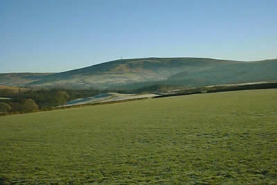
Caption - Looking south from the Calfield Road over Langholm and the Esk valley. Ranks of rolling hills typifies the scenery of this the most southern part of Scotland.
Walk 2004 : Calfield Rig & Mid Hill
Photographer : Tom Hutton
Use back button to return to the photo gallery lists.
Further Information
Location Map
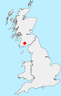
Dumfries and Galloway
Dumfries and Galloway is located in south-west Scotland and shares a short border with England. The area has a lengthy coastline including along the Solway Firth. Inland there are ranges of hills including Merrick the highest hill rising to 843 metres above sea level. Long distance footpaths include the Southern Upland Way.
Messaging & Social Media
Message Walking Britain and follow the latest news.

Mountain Weather
Stay safe on the mountains with detailed weather forecasts - for iOS devices or for Android devices.