Sennen Cove & Botallack from St Just Walk
Walk 1225 - Route Maps
Route Map
Digital Maps - Copyright © 2011-2024. All rights reserved.
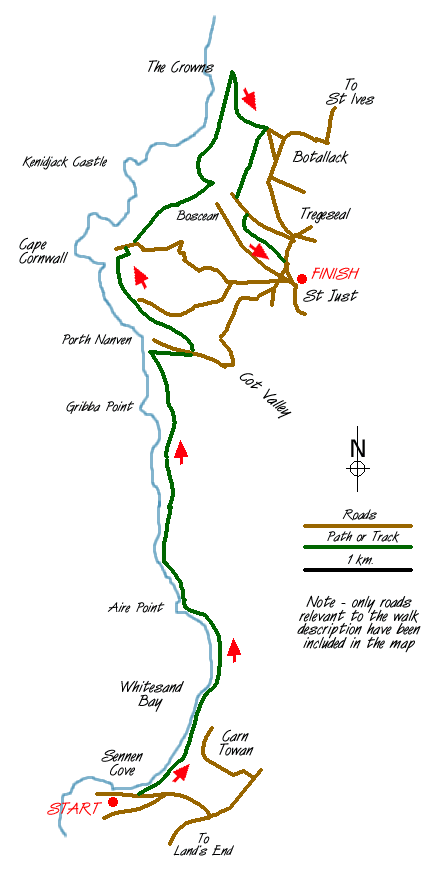
Sketch Map
Suggested Maps 

| Ordnance Survey Explorer 102 | Sheet Map | 1:25k | BUY |
| Anquet OS Explorer 102 | Digital Map | 1:25k | BUY |
| Ordnance Survey Landranger 203 | Sheet Map | 1:50k | BUY |
| Anquet OS Landranger 203 | Digital Map | 1:50k | BUY |
It is recommended you take a map. The preferred scale is 1:25k.
Start Point Details
Ordnance Survey Grid Ref SW370313
Latitude 50.123367 Longitude -5.680856
Postcode TR19 7HU
what3words start racked.flop.appear
Walk description may contain detailed information on the start point for this walk.
Further Information
Cornwall AONB
This National Landscape (formerly AONB) is split into many small fragments. It contains some of Britain's finest coastal scenery, including Land's End and the Lizard peninsula. In addition Cornwall's highest moorland around Bodmin is also included in this very varied and historically interesting area. Cornwall AONB Walking Guide
Cornwall
With a long and varied coastline Cornwall offers walkers many wonderful walks using sections of the South West Coast Path National Trail. In places the coastal scenery is very rugged and the walking often quite strenuous. Inland the moors of West Penwith and Bodmin offer a dramatic change of scenery to that encountered on the coast. Further interest is added by pretty villages and harbours, industrial archaeology, mostly focused on the former tin mines, and some outstanding archaeology sites especially in the moorland areas.
Walk grading - Learn how each walk is assessed and select a walk to suit your ability and experience by going to Walk Grading Details.
Messaging & Social Media
Message Walking Britain and follow the latest news.

Mountain Weather
Stay safe on the mountains with detailed weather forecasts - for iOS devices or for Android devices.