Newton House Plantation & Stony Leas
North York Moors Walk
Nat Park - North York Moors - North York Moors East
County/Area - North Yorkshire
Author - Andy Chaplin
Length - 10.3 miles / 16.7 km Ascent - 900 feet / 273 metres
Time - 6 hours 0 minutes Grade - moderate
Maps 

| Ordnance Survey Explorer OL27 | Sheet Map | 1:25k | BUY |
| Anquet OS Explorer OL27 | Digital Map | 1:25k | BUY |
Walk Route Description
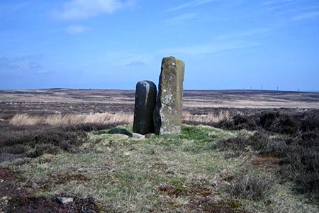
Click image to visit gallery of 3 images.
This North York Moors 10-mile walk offers some strange contrasts in landscape. Wild moorland, agricultural farmland and woodland never seem to gradually fade into each other. At one point you are in one, the next you are walking in a completely different landscape. Highlights of the route are the views across the North York Moors to the North Sea, and the May Beck and Falling Foss waterfalls.
There is parking room for a couple of cars just off the A169 at NZ855026 but there is more room on Cow Wath Bank at NZ851028 along an old mining rake. From here walk the quarter mile along the rake to the main road, cross over and continue along the track towards the north west corner of the Newton House plantation.
Although a bridleway is shown on the map from a tumulus that you pass, the easier route to follow is the track under the pylons. This leads to a normally dry ford at Sheep House Rigg and continues eastwards above the plantation becoming the Lees Head Road track. Suddenly you leave the moors behind and are in the farmland valley heading towards Leas Head Farm.
Stay on the track all the way towards the farm then follow the footpath off to the right across the field. The path crosses Parsley Beck and goes through a small wood. As you come out keep to the left of the drainage ditch and when you get over the next hillock you will see a path ahead of you that you will join on the way to Foss Farm. Keep on this track past Foss Farm and on to Midge Hall and Falling Foss. It is only ? of the way through the walk but there is a chance to get a cup of tea here while admiring the waterfall.
A new wooden walkway on the eastern side of the May Beck marks the start of the Coast to Coast section down the May Beck. Carry on along this popular woodland walk to the car park then take the main track up the hill. The beck will now be below you and on your left. This track leads into the plantation and the route through is signed as the Moor to Sea cycle route. The track is quite open as it is a wide forestry track but sections of the forest, after it has been cut, looks devastated.
Keep on south to the trig point and gate at Stony Leas then take the moors track on the western side of the fence back towards the northwest. There are good views towards the coast, towards Fylingdales and eastwards towards Goathland. The path crosses the fence at Foster Howes then joins the Whinstone Ridge line at York Cross Rigg and heads back to the A169 and the parking places.
Other walks nearby
| Walk 3533 | Mallyan Spout and Beck Hole from Goathland | easy | 3.0 miles |
| Walk 2262 | Goathland & Grosmont | easy/mod | 7.7 miles |
| Walk 2563 | Egton Bridge & Grosmont from Goathland | moderate | 12.5 miles |
| Walk 1464 | Sleights Moor | easy/mod | 7.8 miles |
| Walk 1743 | Sneaton Thorpe & Littlebeck from May Beck | moderate | 8.9 miles |
| Walk 1922 | Goathland & Howl Moors | moderate | 11.2 miles |
| Walk 1675 | The Esk Valley & Egton High Moor | moderate | 10.5 miles |
| Walk 1930 | Wheeldale Moor circular | moderate | 11.3 miles |
| Walk 2130 | Robin Hood's Bay & Hawkser from Fylingthorpe | moderate | 10.0 miles |
| Walk 2583 | Iburndale and the Esk Valley from Stainsacre | moderate | 10.3 miles |
Recommended Books & eBooks
Trail and Fell Running in the Yorkshire Dales
 Guidebook to 40 of the best trail and fell runs in the Yorkshire Dales National Park. Ranging from 5 to 24 miles, the graded runs start from bases such as Ribblehead, Dent, Sedbergh, Malham and Grassington and take in the region's diverse delights, from castles and waterfalls to iconic mountains such as Whernside, Ingleborough and Pen Y Ghent.
More information
Messaging & Social Media
Message Walking Britain and follow the latest news.

Mountain Weather
Stay safe on the mountains with detailed weather forecasts - for iOS devices or for Android devices.