Hampshire and Berkshire Heights Walk
Walk 2114 - Route Maps
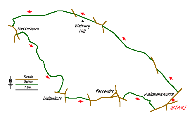
Route Map
Digital Maps - Copyright © 2011-2024. All rights reserved.
Sketch Map
Suggested Maps 

| Ordnance Survey Explorer 144 | Sheet Map | 1:25k | BUY |
| Anquet OS Explorer 144 | Digital Map | 1:25k | BUY |
| Ordnance Survey Explorer 158 | Sheet Map | 1:25k | BUY |
| Anquet OS Explorer 158 | Digital Map | 1:25k | BUY |
| Ordnance Survey Explorer 131 | Sheet Map | 1:25k | BUY |
| Anquet OS Explorer 131 | Digital Map | 1:25k | BUY |
| Ordnance Survey Landranger 174 | Sheet Map | 1:50k | BUY |
| Anquet OS Landranger 174 | Digital Map | 1:50k | BUY |
It is recommended you take a map. The preferred scale is 1:25k.
Start Point Details
Ordnance Survey Grid Ref SU416575
Latitude 51.315097 Longitude -1.404499
Postcode RG20 9ST
what3words start exporters.toned.liners
Walk description may contain detailed information on the start point for this walk.
Further Information
North Wessex Downs
This National Landscape includes significant areas of chalk downland with their unique habitat. Man's past has left many reminders in this area too including the iconic white horses, the stone circle at Avebury and Silbury Castle. North Wessex Downs Walking Guide
Walk grading - Learn how each walk is assessed and select a walk to suit your ability and experience by going to Walk Grading Details.
Messaging & Social Media
Message Walking Britain and follow the latest news.

Mountain Weather
Stay safe on the mountains with detailed weather forecasts - for iOS devices or for Android devices.