Walk 2260 - printer friendly version
White Hill from Hollingworth Lake Walk
Author - Lou Johnson
Length - 11.2 miles / 18.2 km
Ascent - 1300 feet / 394 metres
Grade - moderate
Start - OS grid reference SD968178
Lat 53.6566830 + Long -2.0498945
Postcode OL15 0LG (approx. location only)
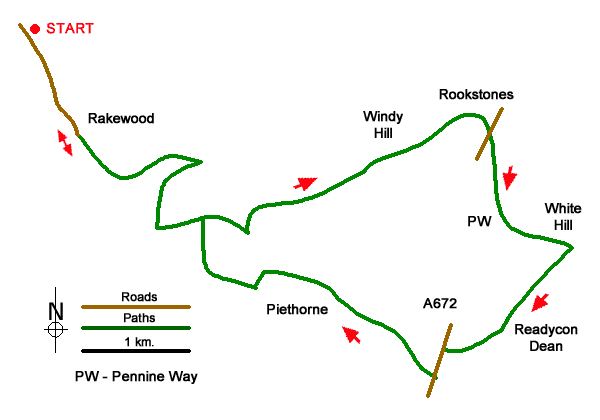
Starting from Hollingworth Lake, this walk explores an area of moorland and reservoirs in the South Pennines. The route follows paths and tracks which originally were used to cross from Lancashire to Yorkshire. The area also includes several reservoirs built to supply the needs of Lancashire industry. Sections of the Pennine Bridleway, Pennine Way and Rochdale Way are followed during the walk. One section crosses open moor without clear paths.
The walk starts from the large car park (Grid ref. SD939153) adjacent to the visitor centre on the northern side of Hollingworth Lake. In addition to information, refreshments are available at peak times. After parking walk back to the lake and turn left. Follow the path south along the shore. Continue along this road to reach Rakewood. Continue ahead to join a private road (Footpath and Bridleway only). The road leads under the M62 and continues to reach a farm (grid ref. SD952139). Keep to the right of the buildings and continue along a clear track. 500 metres beyond the buildings the track turns sharp right, doubling back on itself. The onward track sweeps to the left to a reach a junction of tracks with a fingerpost (grid ref. SD952133). Turn left onto Tunshill Lane, an old packhorse route linking Rochdale to Marsden.
Stay on Tunshill Lane for 800 metres, ignoring side tracks and paths, to reach a junction (grid ref. SD960133). Turn left off Tunshill Lane onto a grassy track that soon swings right before running roughly parallel with the M62 over to your left. Climb steadily to the radio masts on Windy Hill. Continue past the masts towards the A672 and just before reaching this road turn right onto the Pennine Way. Cross the A672 and continue for a.5 kilometres to reach the OS trig column on White Hill (grid ref. SD991132).
Turn right off the Pennine Way and head southwest across rough moorland. There is no clear path although sheep trods help progress. The first objective is Great Hill (grid ref. SD985125). Cross this minor top and maintain direction down to a fence. Follow the fence downhill to a track and bear right to the A672. Turn left and follow the path beside the road. At the next fingerpost turn left (just before the Rams Head Inn. Follow a clear track down to Piethorne Reservoir (grid ref. SD969127). Continue past the reservoir and continue up the track to take a path on the left. The path follows the northern edge of a planation to exit onto open moorland. The path is clear, looping around the south side of Turf Hill. Stay on the path until you reach some ruined buildings on your left (grid ref. SD958129). Just past the ruins the track veers left. At this point fork right to join a path that climbs and swings right across the flank of Town Hill. Keep ahead ignoring a path on the right and descend to Tunshill Lane. Turn left and retrace your route back to the start.
Messaging & Social Media
Message Walking Britain and follow the latest news.

Mountain Weather
Stay safe on the mountains with detailed weather forecasts - for iOS devices or for Android devices.