River Yare & Claxton from Rockland Staithe
The Broads Walk
Nat Park - The Broads
County/Area - Norfolk
Author - Lou Johnson
Length - 5.2 miles / 8.5 km Ascent - 150 feet / 45 metres
Time - 2 hours 50 minutes Grade - easy
Maps 

| Ordnance Survey Explorer OL40 | Sheet Map | 1:25k | BUY |
| Anquet OS Explorer OL40 | Digital Map | 1:25k | BUY |
Walk Route Description
Click image to see photo description.
The Norfolk Broads with its watery landscape is the main feature of this walk. The route starts from the small car park at Rockland Staithe (grid ref. TG327046) which lies just over 6 miles from the centre of Norwich. After parking, exit the parking area onto the road and turn left. Almost immediately turn left onto the Wherryman's Way which initially heads north past moorings (on your left) and then continues along the southern shore of Rockland Broad. The onward path follows Short Dike to reach the River Yare (grid ref. TG340052).
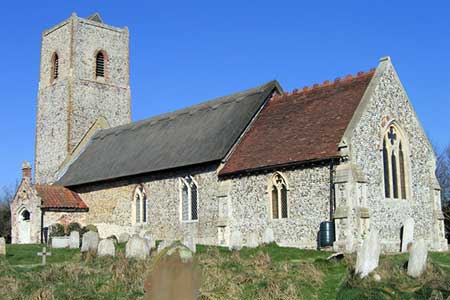
Turn right along the River Yare (with the river to your left) and continue along the riverbank for just under a mile. Just before the Beauchamp Arms, turn right onto a bridleway at grid ref. TG349044 and follow this into Mill Lane. Reaching the main road through Claxton (The Street) turn right and walk through the village. After 800 metres turn left into Home Piece Lane (grid ref. TG334036) and continue roughly south to Staine's Barn (grid ref. TG328031).
Turn right along Church Lane and follow this rural byway towards Claxton's Corner. Just before Claxton's Corner at grid ref. TG329038, turn left onto the signed footpath. This leads across fields to a road (grid ref. TG326046). Turn right along this road and the car park where you started is a short way along on the left.
Other walks nearby
| Walk 2446 | Rockland St Mary Circular | easy/mod | 8.1 miles |
| Walk 2239 | River Bure and Tunstall Dike from Acle | easy | 6.1 miles |
| Walk 2240 | The River Bure & Upton from Acle | easy | 5.0 miles |
| Walk 2320 | Muck Fleet & River Bure from near Oby | easy/mod | 8.7 miles |
| Walk 2129 | River Ant & How Hill from Ludham | easy | 6.7 miles |
| Walk 2839 | St Benet's Abbey & How Hill from Ludham | easy/mod | 8.8 miles |
| Walk 2128 | Stokesby & Muck Fleet from Fleggburgh | easy | 7.1 miles |
| Walk 3694 | River Thurne & Hickling Broad from Potter Heigham | easy/mod | 6.4 miles |
| Walk 2237 | Somerleyton & Herringfleet Hills | easy | 3.5 miles |
| Walk 2075 | Tyrrel's Wood and Boudicca Way | easy/mod | 8.5 miles |
Recommended Books & eBooks
No suggestions for this area.Messaging & Social Media
Message Walking Britain and follow the latest news.

Mountain Weather
Stay safe on the mountains with detailed weather forecasts - for iOS devices or for Android devices.