Nottingham Hill viewed from Cleeve Hill
Walk Photo 194901
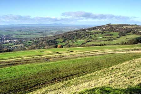
Caption - Nottingham Hill is on the right in the near distance, beyond is the Severn valley with the line of the Malvern Hills which form part of the county boundary between the neighbouring counties of Worcestershire and Herefordshire on the horizon.
Walk 1949 : Nottingham Hill
Photographer : Philip Halling
Use back button to return to the photo gallery lists.
Further Information
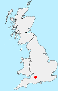
Location Map
Cotswolds
The Cotswold National Landscape (formerly AONB) covers about 800 square miles in six counties of England. It is mostly farmland, both cultivated and pasture, with some areas of woodland and open upland. Bearing this in mind staying on signed rights of way is important so as to maintain the important balance between landowner and visitor. More Information
Messaging & Social Media
Message Walking Britain and follow the latest news.

Mountain Weather
Stay safe on the mountains with detailed weather forecasts - for iOS devices or for Android devices.