Royal Military Canal - Cliff End to Seabrook Walk
Walk 1899 - Route Maps
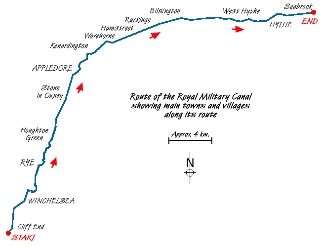
Route Map
Digital Maps - Copyright © 2011-2024. All rights reserved.
Sketch Map
Suggested Maps 

| Ordnance Survey Explorer 138 | Sheet Map | 1:25k | BUY |
| Anquet OS Explorer 138 | Digital Map | 1:25k | BUY |
| Ordnance Survey Explorer 125 | Sheet Map | 1:25k | BUY |
| Anquet OS Explorer 125 | Digital Map | 1:25k | BUY |
| Ordnance Survey Explorer 124 | Sheet Map | 1:25k | BUY |
| Anquet OS Explorer 124 | Digital Map | 1:25k | BUY |
| Ordnance Survey Landranger 199 | Sheet Map | 1:50k | BUY |
| Anquet OS Landranger 199 | Digital Map | 1:50k | BUY |
| Ordnance Survey Landranger 189 | Sheet Map | 1:50k | BUY |
| Anquet OS Landranger 189 | Digital Map | 1:50k | BUY |
It is recommended you take a map. The preferred scale is 1:25k.
Start Point Details
Ordnance Survey Grid Ref TQ888134
Latitude 50.889228 Longitude 0.682988
Postcode TN35 4HF
what3words start centrally.quest.balance
Walk description may contain detailed information on the start point for this walk.
Further Information
East Sussex
East Sussex offers some excellent walking with the South Downs offering many excellent routes. The coast also offers some superb walks including Beach Head which rises 162 metres (530 feet) above the Sea. In land the Weald is worth exploring with its attractive villages and historic buildings. The highest point in the County is Ditching Beacon (248 metres, 814 feet). The most important long-distance footpath is the South Downs Way which provides a basis for shorter circular walks.
Walk grading - Learn how each walk is assessed and select a walk to suit your ability and experience by going to Walk Grading Details.
Messaging & Social Media
Message Walking Britain and follow the latest news.

Mountain Weather
Stay safe on the mountains with detailed weather forecasts - for iOS devices or for Android devices.