The Dam, Alton Water
Walk Photo 214901
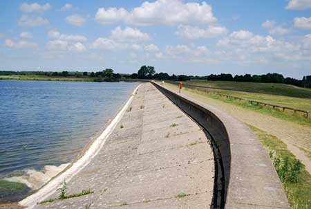
Caption - Alton Water is the largest reservoir in Suffolk. Alton Reservoir was opened in 1987 and is fed from the River Gipping and bore holes on the north side of the River Orwell. The pumping station and treatment works below the dam is capable of treating up to 10 million gallons (45,000 m3) of water a day. Between 85% and 95% of the water goes to Ipswich and Felixstowe via the Wherstead reservoir and the Orwell Bridge with the remainder fed to the villages of the Shotley Peninsula and south Suffolk. The reservoir is also used for sailing and fishing.
Walk 2149 : Circuit of Alton Water
Photographer : N Chadwick
Use back button to return to the photo gallery lists.
Further Information
Location Map
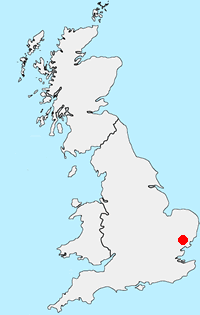
Suffolk
The County of Suffolk is in the East of England. Much of the county is low lying although there are a few hills, especially in the west. Arable land predominates and contrasts with the watery landscape of The Broads in the north. A notable feature are the wide estuaries that offer a habitat for a variety of birds. The Suffolk Coast and Heaths is the only National Landscape (formerly AONB) in the county. The highest point is Great Wood Hill, near the village of Rede, which reaches 128 metres (420 ft).
Messaging & Social Media
Message Walking Britain and follow the latest news.

Mountain Weather
Stay safe on the mountains with detailed weather forecasts - for iOS devices or for Android devices.