Salt Way by New Covert Plantation, near Bibury, Gloucestershire
Walk Photo 363601
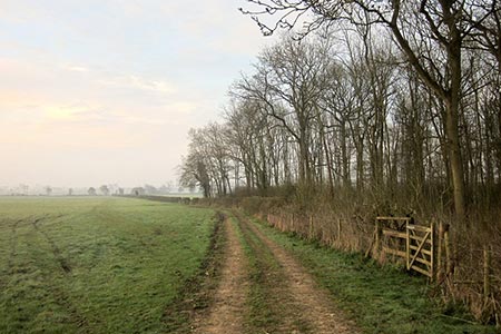
Caption - Restricted byway KBY 6/2 follows the Salt Way towards Coln St Aldwyns, Gloucestershire.
Walk 3636 : Bibury & Ablington Circular
Photographer : Derek Harper
Use back button to return to the photo gallery lists.
Further Information
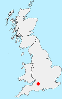
Location Map
Cotswolds
The Cotswold National Landscape (formerly AONB) covers about 800 square miles in six counties of England. It is mostly farmland, both cultivated and pasture, with some areas of woodland and open upland. Bearing this in mind staying on signed rights of way is important so as to maintain the important balance between landowner and visitor. More Information
Messaging & Social Media
Message Walking Britain and follow the latest news.

Mountain Weather
Stay safe on the mountains with detailed weather forecasts - for iOS devices or for Android devices.