Gallow Hill, Epwell & Swalcliffe
Oxfordshire Walk
County/Area - Oxfordshire & Warwickshire
Author - Lou Johnson
Length - 7.8 miles / 12.7 km Ascent - 650 feet / 197 metres
Time - 4 hours 30 minutes Grade - easy/mod
Maps 

| Ordnance Survey Explorer 191 | Sheet Map | 1:25k | BUY |
| Anquet OS Explorer 191 | Digital Map | 1:25k | BUY |
Walk Route Description
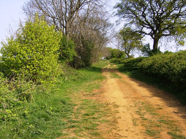
Click image to see photo description.
This walk starts from Gallow Hill which lies on the Oxfordshire Warwickshire border and explores the countryside and villages lying to the east. The undulating route follows paths and tracks and uses lanes for short sections of the walk. Along the way the route passes through the villages of Sibford Ferris, Swalcliffe and Epwell.
The start is a layby alongside the B4035 by the "Warwickshire" sign a few miles west of Epwell (grid ref. SP343392). After parking walk south and turn left through a metal gate to join a track with hedges either side. You are now following the Macmillan Way south. Following the clear path for about two kilometres ignoring paths and bridleway left and right. Pass Rye Hill Farm on your left and at the next junction (grid ref. SP339373) turn left and follow a clear track downhill. You soon pass two barns on your left. Continue along the left-hand side of fields top reach a road.
Cross the road and take the bridleway opposite. The grassy track continues to right-hand corner of the field and then continues across two fields with hedge right before entering the third field and reaching Woodway Road (grid ref. SU354373). Follow the road ahead into the attractive village of Sibford Ferris. At the first junction continue ahead signed to Banbury. Continue ahead at the next junction along Main Street and take the first footpath on the right just before a thatched cottage on the right (grid ref. SP361374). Go half-left across the field to the far corner and turn left following a hedge on your left past a barn. Continue ahead to join a track which leads to Grange Lane.
Turn right and continue to the next junction by Swalcliffe Grange and turn left along Park Lane. Follow this lane for a kilometre to reach the B4035 in Swalcliffe (grid ref. SP377379). Turn left and after 250 metres turn right through a metal gate onto a bridleway. To Epwell. The path soon enters a large field. Keep to the right-hand side and continue to the end of the field. Entering a second field the path goes half-left and maintains direction across a third field to reach a road (grid ref. SP370390).
Cross the road and join the access drive to Blenheim Farm. Follow the main drive past the farm and barns (on your right) and when the drive turns left keep ahead to the end of the field. Pass through a gate on the right and head to Chilaway Farm. Pass the farm and join their access drive. Where the drive bends left continue ahead across a field with hedge on your right. Continue ahead to join Sibford Road in Epwell. Take the second road on the left (signed Epwell Village) to reach The Square.
Turn left passing the church on your left. At the next junction turn left and follow the lane as it bends right. Take the next footpath on the left (MacMillan Way) just before a house named "Ambleside". There is a fingerpost but it is hidden in undergrowth (grid ref. SP3524050). The path enters a field where you keep right and at the end of the field turn right and then almost immediately left keeping to the right-hand side of two fields. Reaching a road turn right and then take the first path on the left. Cross a field to a track (Beggars Lane) and turn left. After 700 metres you join the B4035 where you bear right back to the start on Gallow Hill.
Other walks nearby
| Walk 1981 | Epwell from Sibford Gower | easy/mod | 5.6 miles |
| Walk 2489 | Upper Brailes Circular | easy/mod | 5.6 miles |
| Walk 3222 | Edge Hill and Upton House | easy/mod | 6.5 miles |
| Walk 3665 | Honington & Idlicote Circular | easy/mod | 6.0 miles |
| Walk 2125 | Edge Hill & Ratley from Radway | easy/mod | 5.4 miles |
| Walk 3728 | Ledwell & Nether Worton from Great Tew | easy/mod | 6.4 miles |
| Walk 3734 | Compton Verney Circular | easy/mod | 7.2 miles |
| Walk 2340 | Ilmington Down | easy/mod | 4.3 miles |
| Walk 2408 | Ebrington & Hidcote from Ilmington | easy/mod | 8.0 miles |
| Walk 3249 | Hidcote & Ilmington Down | easy/mod | 8.0 miles |
Recommended Books & eBooks
No suggestions for this area.Messaging & Social Media
Message Walking Britain and follow the latest news.

Mountain Weather
Stay safe on the mountains with detailed weather forecasts - for iOS devices or for Android devices.