Scarp slope of The South Downs descending towards Fulking
Walk Photo 198301
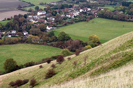
Caption - The grassy northern slope of The South Downs descends steeply from Perching Hill down to the village of Fulking.
Walk 1983 : Edburton Hill from Fulking
Photographer : Trevor Littlewood
Use back button to return to the photo gallery lists.
Further Information
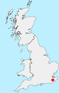
Location Map
South Downs
The South Downs is Britain's newest National Park and stretches from Winchester to Beachy Head. Steeped in history there are ancient hill-forts, barrows, a Roman road and deserted medieval villages. The area has a rich diversity of natural habitats including flower-studded chalk grassland, ancient woodland, flood meadow, lowland heath and the particularly rare chalk heathland. This varied environment provides an excellent basis for those who enjoy outdoor pursuits, such as walking, cycling and horse riding. More Information
Messaging & Social Media
Message Walking Britain and follow the latest news.

Mountain Weather
Stay safe on the mountains with detailed weather forecasts - for iOS devices or for Android devices.