Lancashire Coastal Path, Bank End
Walk Photo 199401
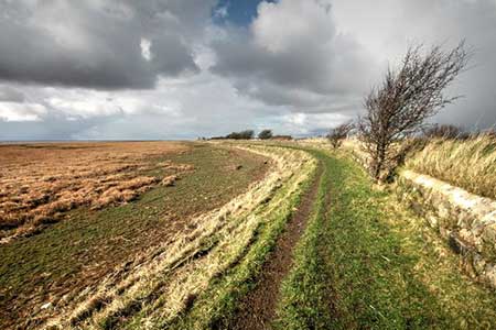
Caption - Lancashire Coastal Way running between Bank End and Bank Houses, two farms and two caravan sites.
Walk 1994 : Cockerham, Glasson & Conder Green
Photographer : Bob Jenkins
Use back button to return to the photo gallery lists.
Further Information
Location Map
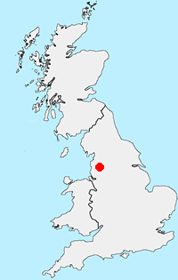
Lancashire
Lancashire offers many walking opportunities with a number of areas of high ground. The highest point is Gragareth (near Whernside) at 627 metres. The rivers drain west from the Pennines. The coast is backed by a coastal plain. Excellent areas for walking include Arnside and Silverdale National Landscape, Beacon Fell Country Park and the Forest of Bowland AONB, which includes Pendle Hill. Further south are the West Pennine Moors and the Forest of Rossendale.
Messaging & Social Media
Message Walking Britain and follow the latest news.

Mountain Weather
Stay safe on the mountains with detailed weather forecasts - for iOS devices or for Android devices.