Bourne Valley north of Wadesmill
Walk Photo 234801
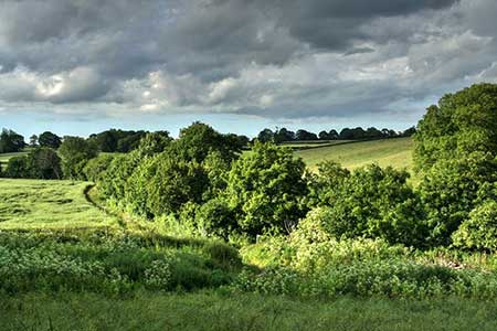
Caption - View of Bourne Valley. The line of trees below and the grassy public footpath marks out the winding Bourne stream, and just above the line of trees left of centre is Salmonsley Wood. Note the Public Footpath sign pointing to the right in the picture, at this point is where Marshall's Lane passes through the valley.
Walk 2348 : Bourne Valley & Sacombe from Wadesmill
Photographer : Lee Holmes
Use back button to return to the photo gallery lists.
Further Information
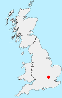
Location Map
Hertfordshire
Despite its proximity to London, Hertfordshire offers a wide range of walking opportunities through pleasant countryside and attractive villages. Hemel Hempstead, Stevenage, Watford and St Albans are the main towns with walks to suit all abilities within easy reach. The highest land in the county lies to the north-west at Pavis Wood near Tring (244 metres above sea level). Part of the county lies within the Chilterns National Landscape (formerly AONB) and is characterised by rolling hills offering scenic walks. Long distance footpaths in the county include the Ridgeway, Icknield Way, Harcamlow Way, Hertfordshire Way and the Grand Union Canal Walk.
Messaging & Social Media
Message Walking Britain and follow the latest news.

Mountain Weather
Stay safe on the mountains with detailed weather forecasts - for iOS devices or for Android devices.