Wales Coast Path near Penbryn
Walk Photo 219301
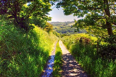
Caption - Wales Coast Path near Penbryn, Ceredigion. This section of the coast path takes you down into Penbryn at the end of the walk.
Walk 2193 : Penbryn & Llangrannog Circular
Photographer : Alistair Hare
Use back button to return to the photo gallery lists.
Further Information
Location Map
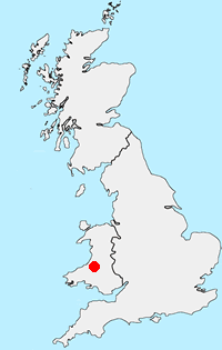
Ceredigion
Ceredigion is a coastal county in mid-Wales. The Cambrian Mountains covering much of the east of the county and offer excellent walking. The highest point is Plynlimon at 2,467 feet (752 m). In complete contrast to the wilds of the mountains, Ceredigion's 50 miles (80 km) of coastline has sandy beaches and, in places, high cliffs. Several attractive seaside resorts provide excellent bases for exploration. The Wales Coast Path follows the full length of the coast.
Messaging & Social Media
Message Walking Britain and follow the latest news.

Mountain Weather
Stay safe on the mountains with detailed weather forecasts - for iOS devices or for Android devices.